Fishing
Spend less time choosing a lake.
Search Alberta waters and check local regulations. With Summit, see when a lake was stocked or read surveyed depth contours to find shelves and drop-offs on supported lakes.
 BackTracker
Alberta hunting & fishing on iPhone
A promising lake. A new hunting area. A favourite spot you want to find again. Bring your maps, regulations, weather and field notes together with BackTracker.
Find your edition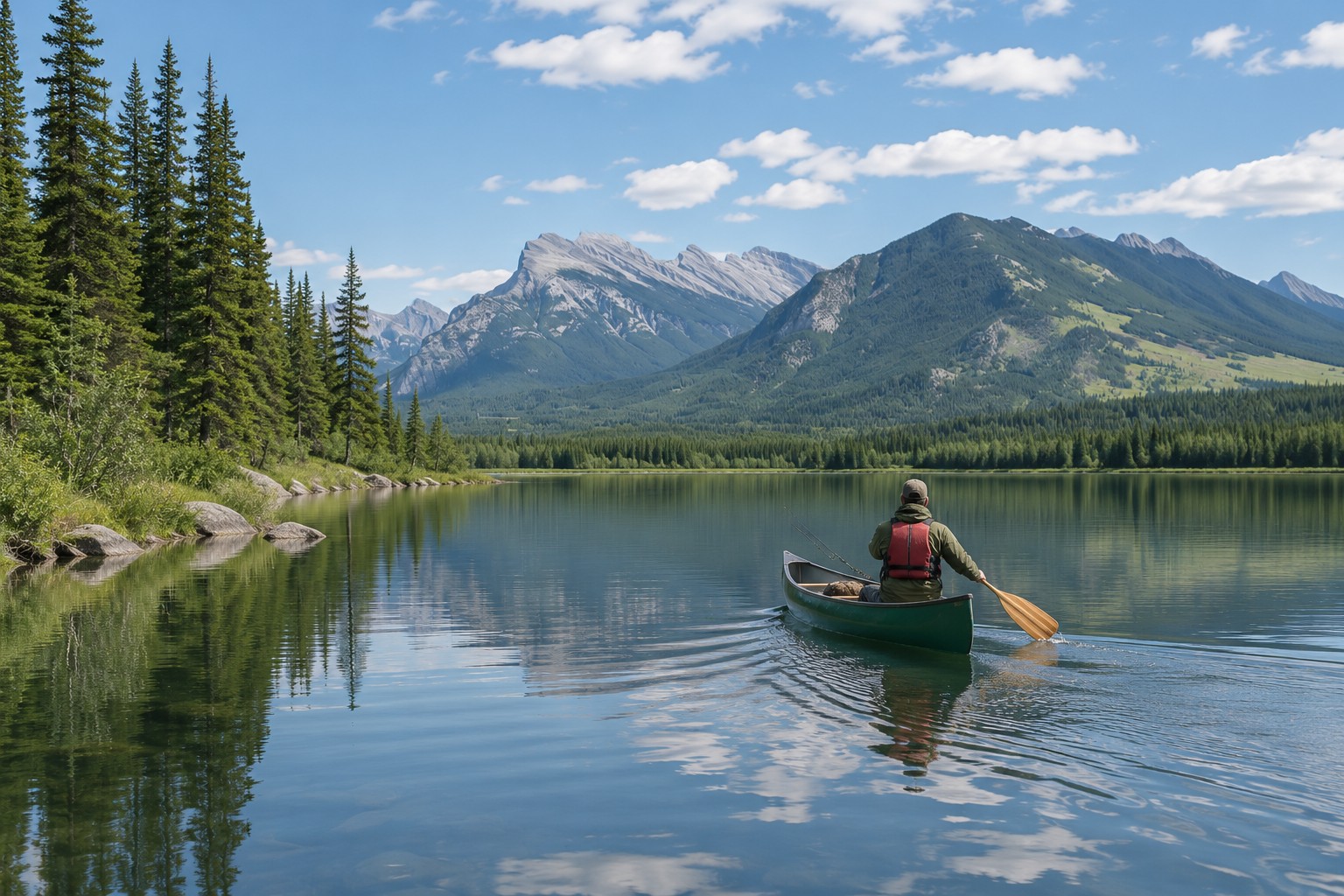
Fishing
Search Alberta waters and check local regulations. With Summit, see when a lake was stocked or read surveyed depth contours to find shelves and drop-offs on supported lakes.
Hunting
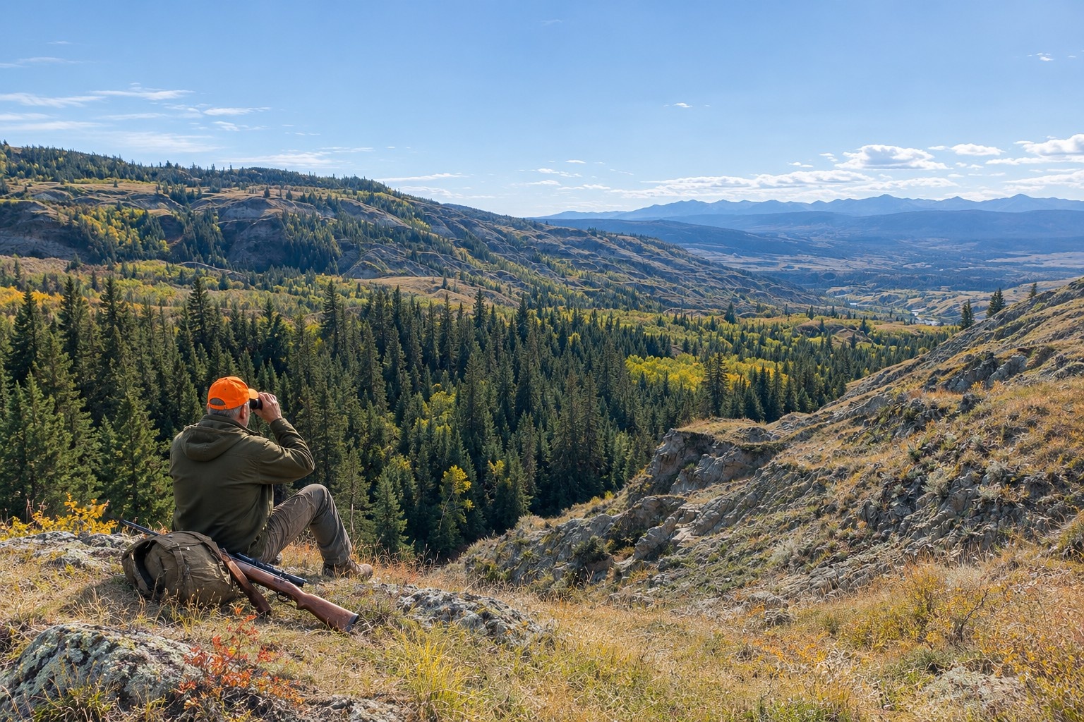
Look up Alberta hunting regulations by wildlife management unit. With Summit, compare past draw results by priority, read elevation contours and review available grazing lease access details.
Mark a spot with a favourite, then find it again in your Journal. Save waypoints, record tracks and keep your notes and photos with your field records.
Heading beyond cell service? With Summit, download satellite imagery for the area you plan to visit before you leave.
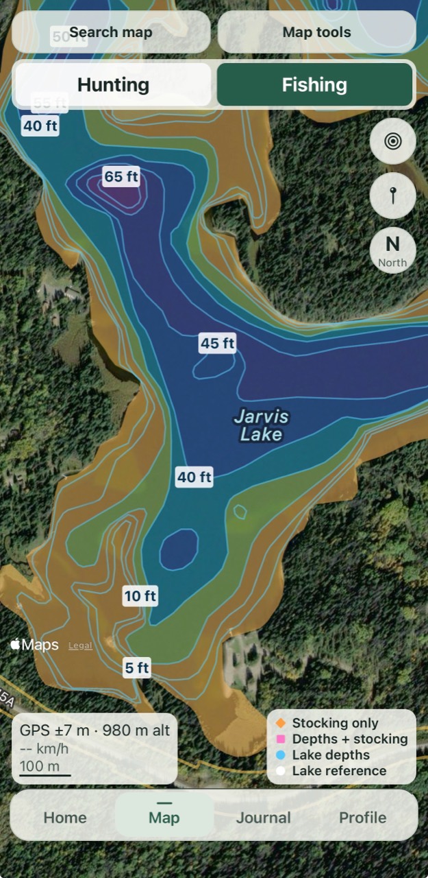
Summit · Lake depths
Read surveyed contours to spot shallow shelves, steep changes and deeper basins on supported lakes.
Free · Favourites
Save a place that catches your eye. Find it in your Journal when you’re ready to come back.
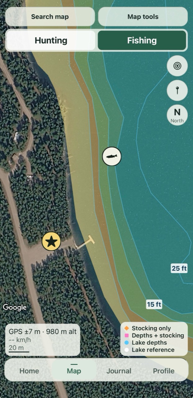
Lake-depth overlay shown with Summit.
Free · Saved places
Mark a sighting, a camera or a place to stay. Use distinctive icons and colours to recognize your saved spots at a glance.
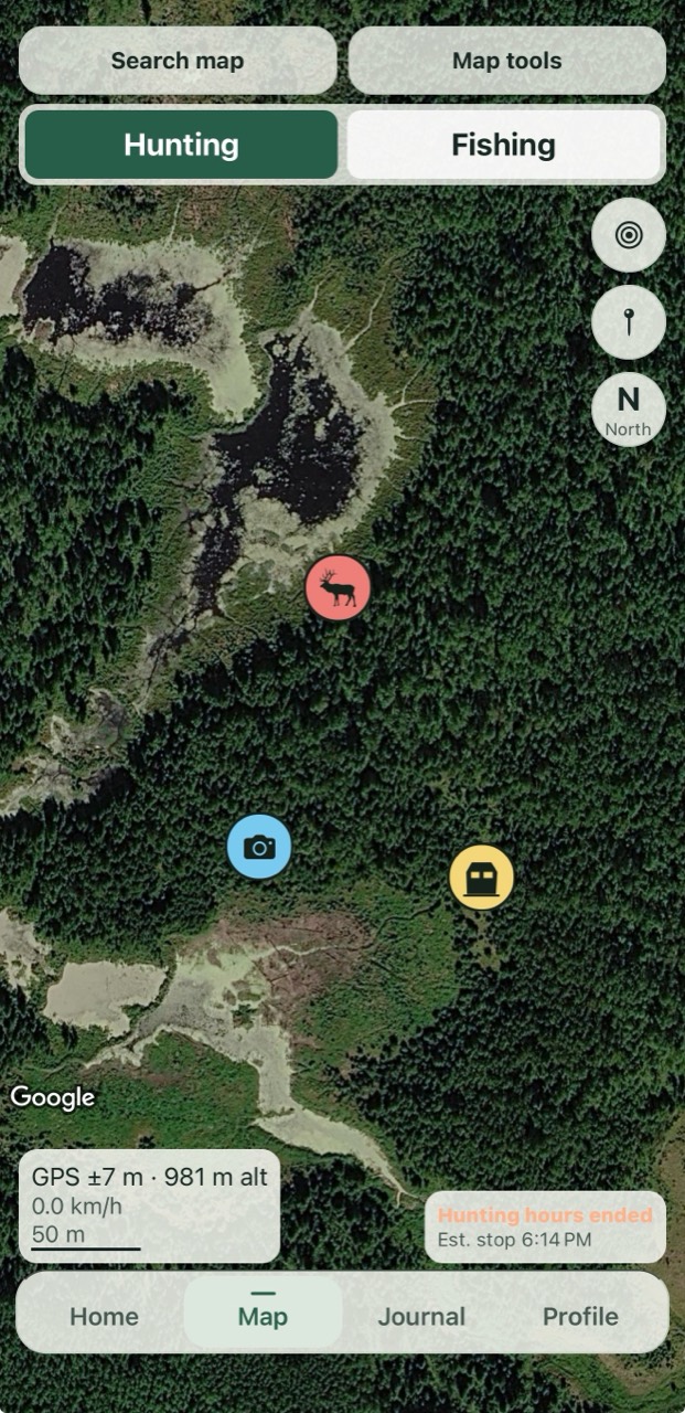
Select an app image to view it at full size.
Explore in 3D
Look across ridgelines, into valleys and over the slopes ahead. Tilt the map to see how the landscape fits together while planning your next trip.
Explore the full app image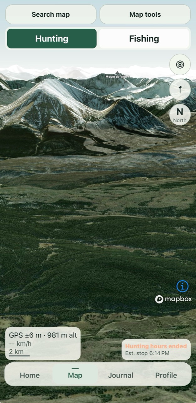
Explore the tools for your next hunting or fishing trip.
Summit
Compare reported species, release dates, quantities and sizes before choosing a stocked lake or pond.
View the full app image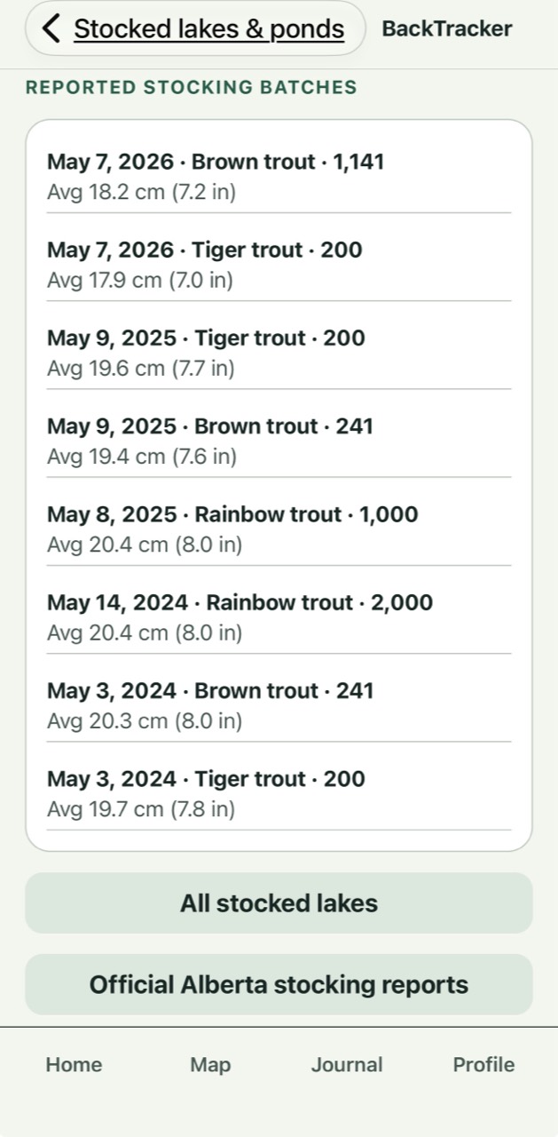
Summit
Compare historical selection results across wildlife management units and inspect the breakdown for your priority. Past results help inform your choices for the next application.
View the full app image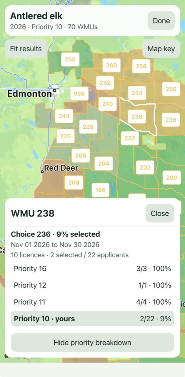
Free
Choose a wildlife management unit and species to review the relevant hunting synopsis, season information and conditions, with links to official regulations.
View the full app image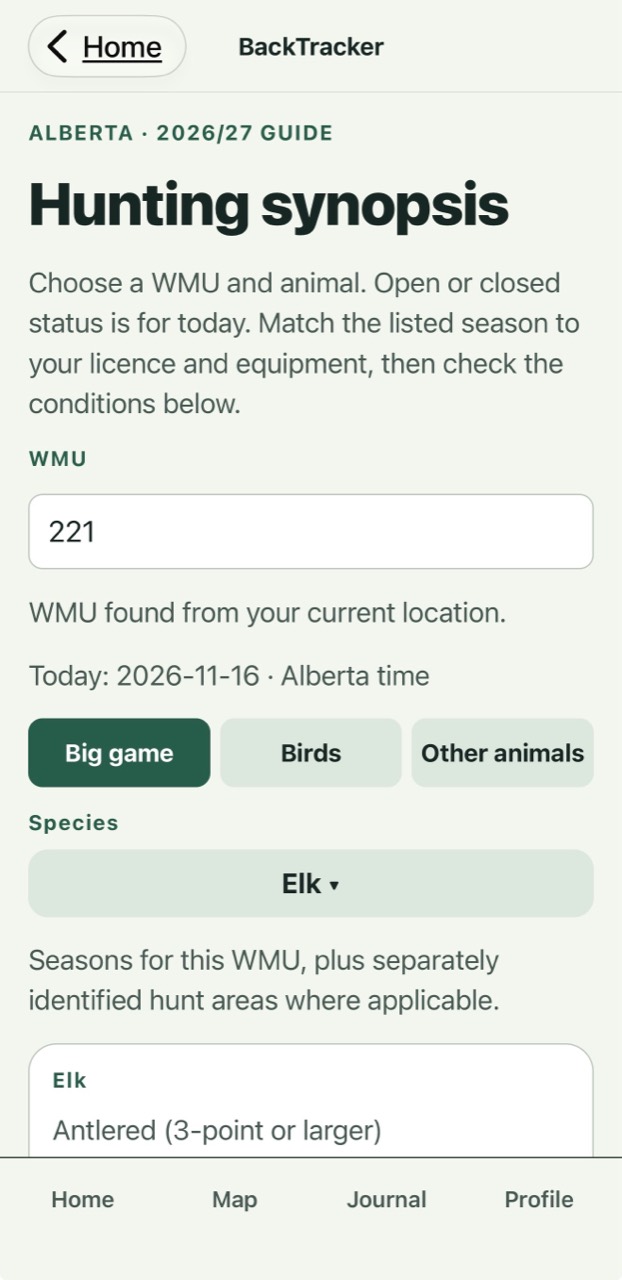
Free
See how wind, temperature and precipitation change through the day. Tap an hour to look more closely at the conditions for your trip.
View the full app image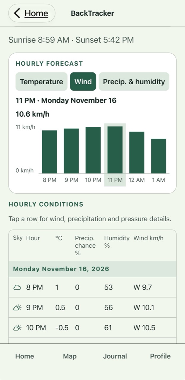
Free
Explore illustrated wildlife profiles with identification details, habitat and behaviour to deepen your understanding of the animals around you.
View the full app image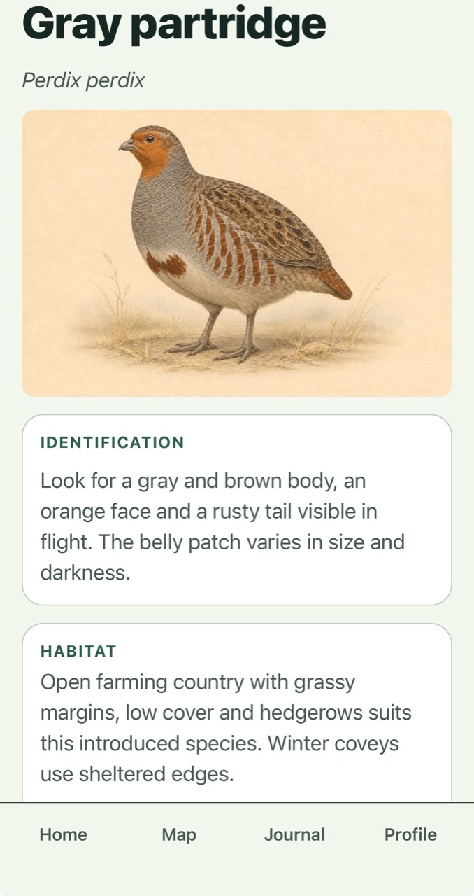
Free
Browse illustrated fish profiles covering identification, typical size, habitat and feeding habits as you plan your next day on the water.
View the full app image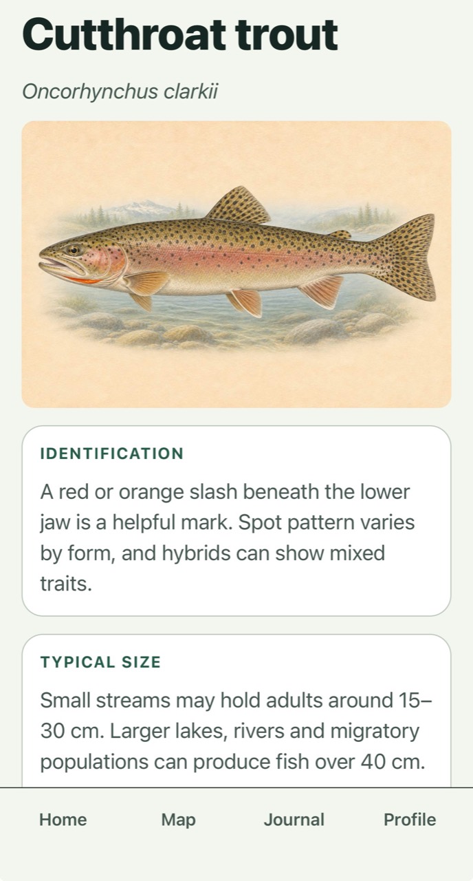
Summit
Explore a species-specific activity outlook alongside daylight and local weather. Use the expected patterns to help choose when to spend time in the field.
View the full app image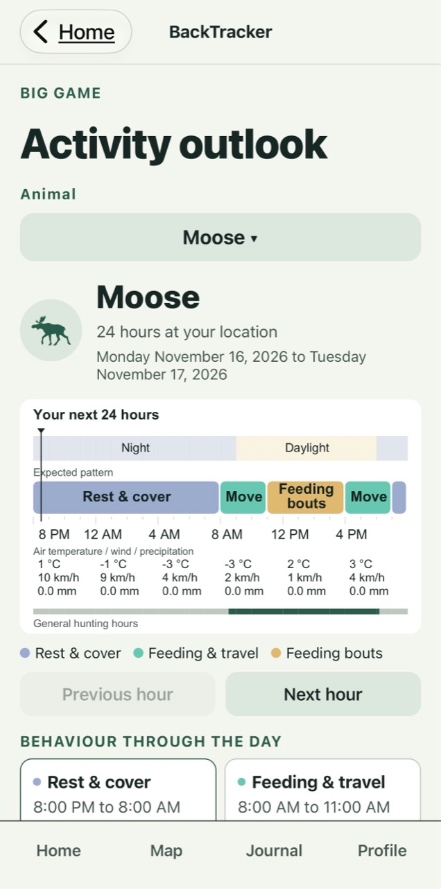
Summit
Compare expected activity periods for your chosen fish species alongside the next 24 hours of local conditions.
View the full app image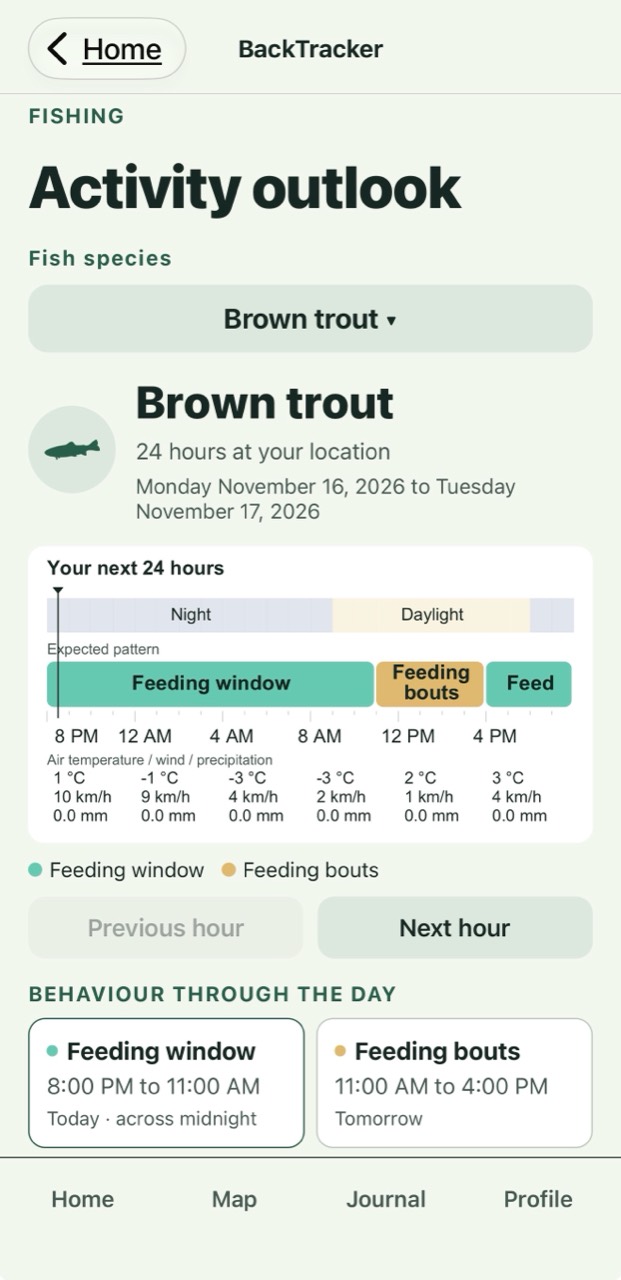
Start exploring with Free. Save the places, tracks and memories that make each trip yours.
Go deeper with Summit. Turn lake surveys, stocking records and terrain detail into a plan for your next day outside.
Summit is a paid subscription. Map and record coverage varies by location.
Your next day outside starts here
Start with Free. Explore Alberta’s hunting and fishing regulations, save your first favourite and build a Journal of places worth returning to.
Coming to the Apple App Store
The download link will be available here at launch.